
CORRIDORS
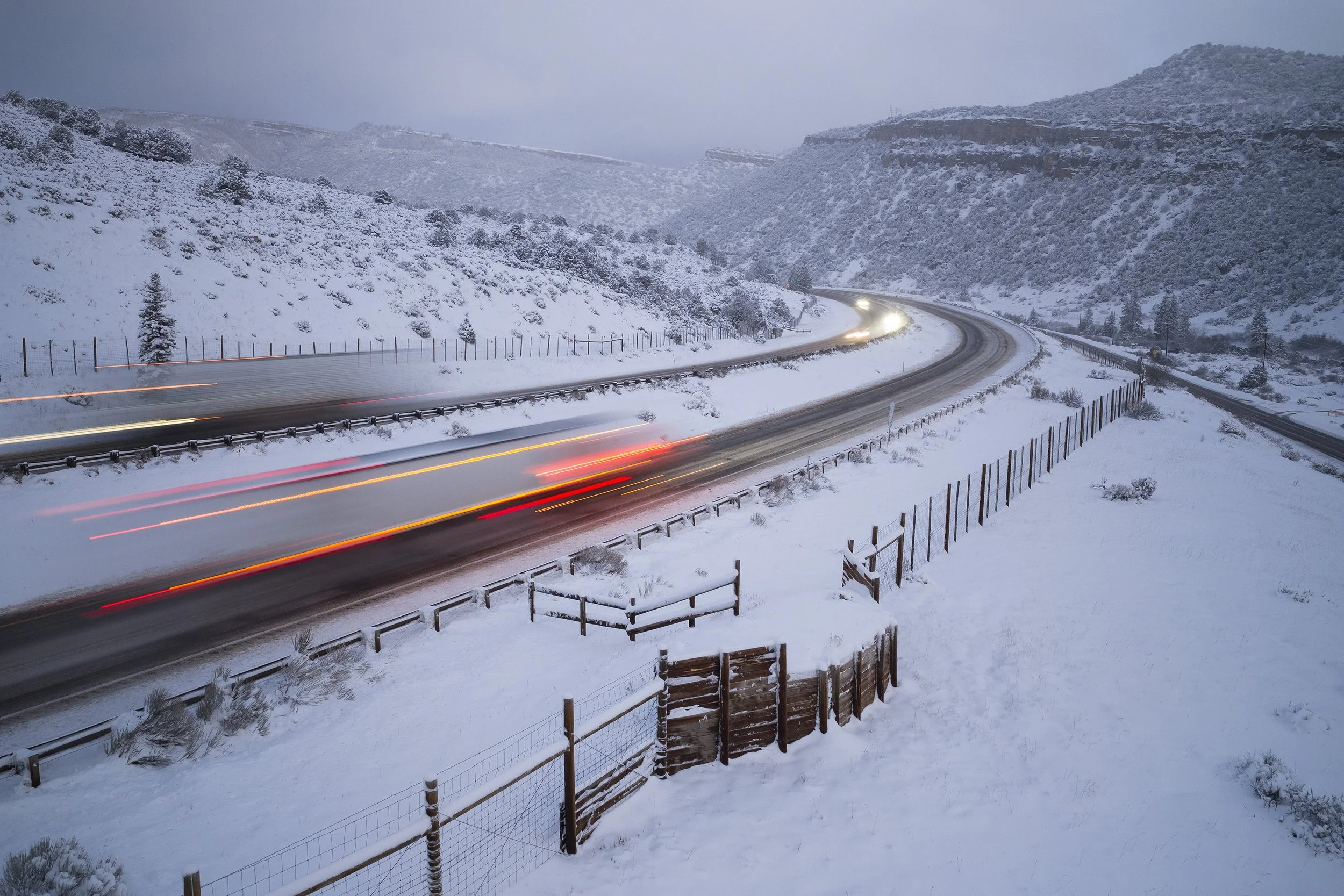
From an elevation 6,100’ west of Dotsero to the 14,011’ summit of Mt. of the Holy Cross, Eagle County’s geography is diverse, expansive and seasonally dynamic. Cutting east to west through the heart of the county is Interstate 70, a bustling and noisy thoroughfare of local, regional and long-distance traffic.
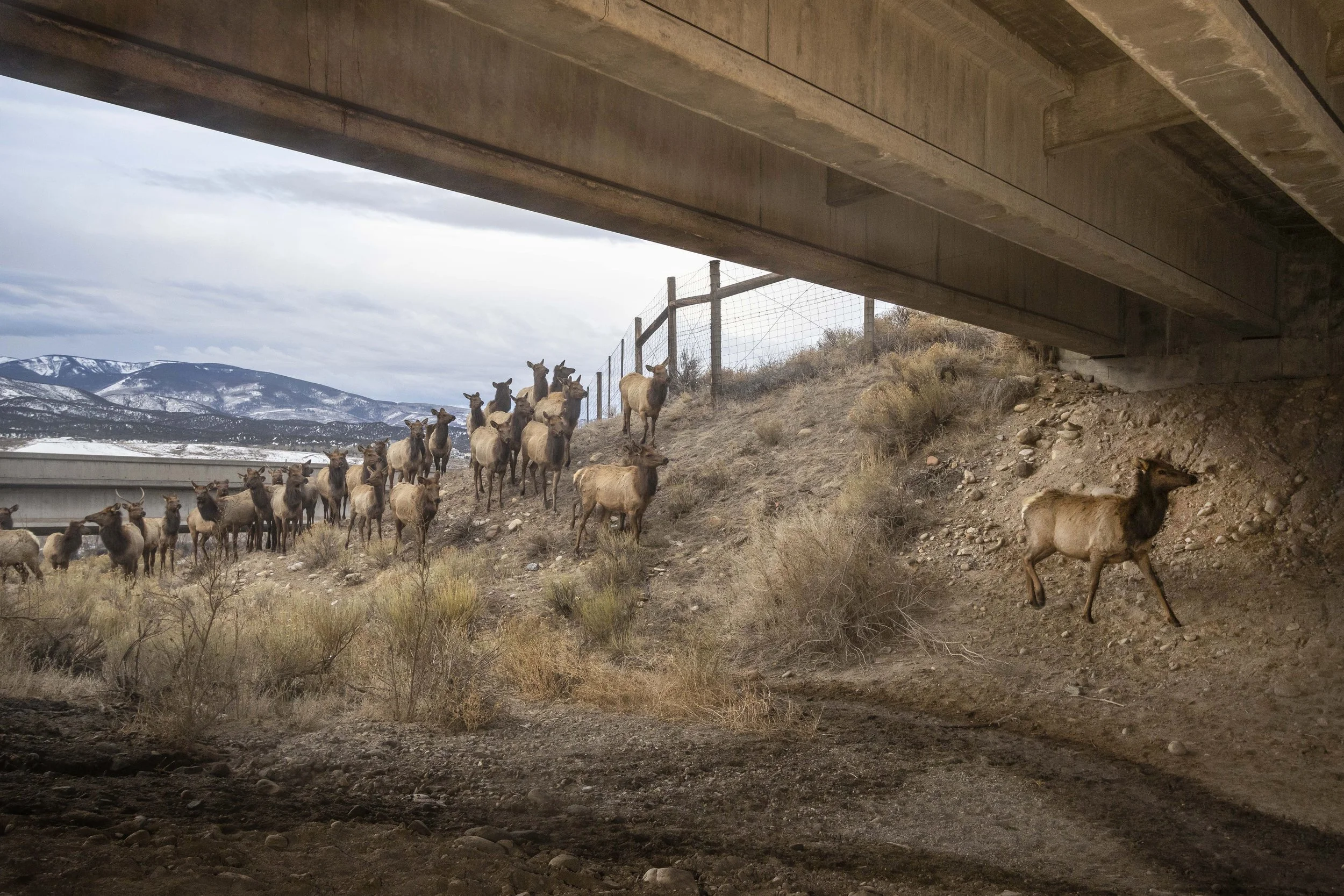
Of the 60 miles that the highway bisects the county, approximately 50 of those miles are lined on both sides by 8-foot tall wildlife fencing. While the fencing has dramatically reduced vehicle-wildlife collisions, it also severely restricts the free movement of wildlife required to access seasonal habitats, adequate food and water, and for sustained propagation.
Along with commercial and residential areas, frontage roads, as well as Gore Creek and the Eagle and Colorado Rivers, the I-70 corridor is a largely impassible barrier for wildlife, with only a handful of mostly inadequate crossing locations.
In response to this ongoing problem, CPI continues to create compelling imagery, video and data to inspire the creation of new wildlife crossings in key areas.
PROJECT SPONSOR

DEER MIGRATION ALONG I-70, DOWD JUNCTION
ELK MIGRATION UNDER I-70 NEAR GYPSUM
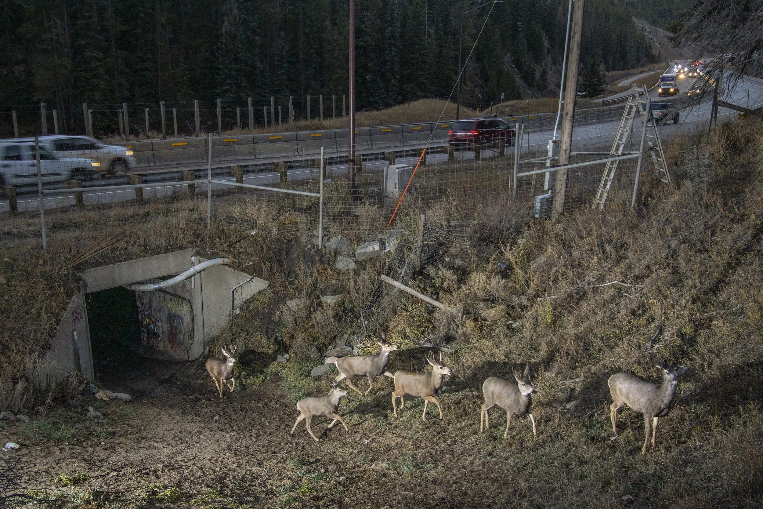
MULE DEER EXITING BOX CULVERT, DOWD CANYON (Camera Trap Image)
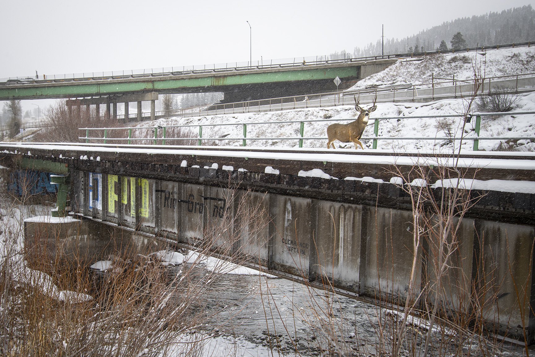
MULE DEER BUCK CROSSING RAILROAD BRIDGE, DOWD JUNCTION (Camera Trap Image)
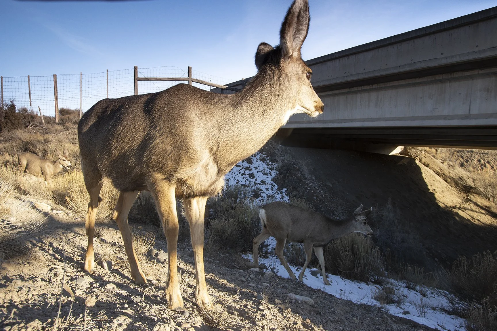
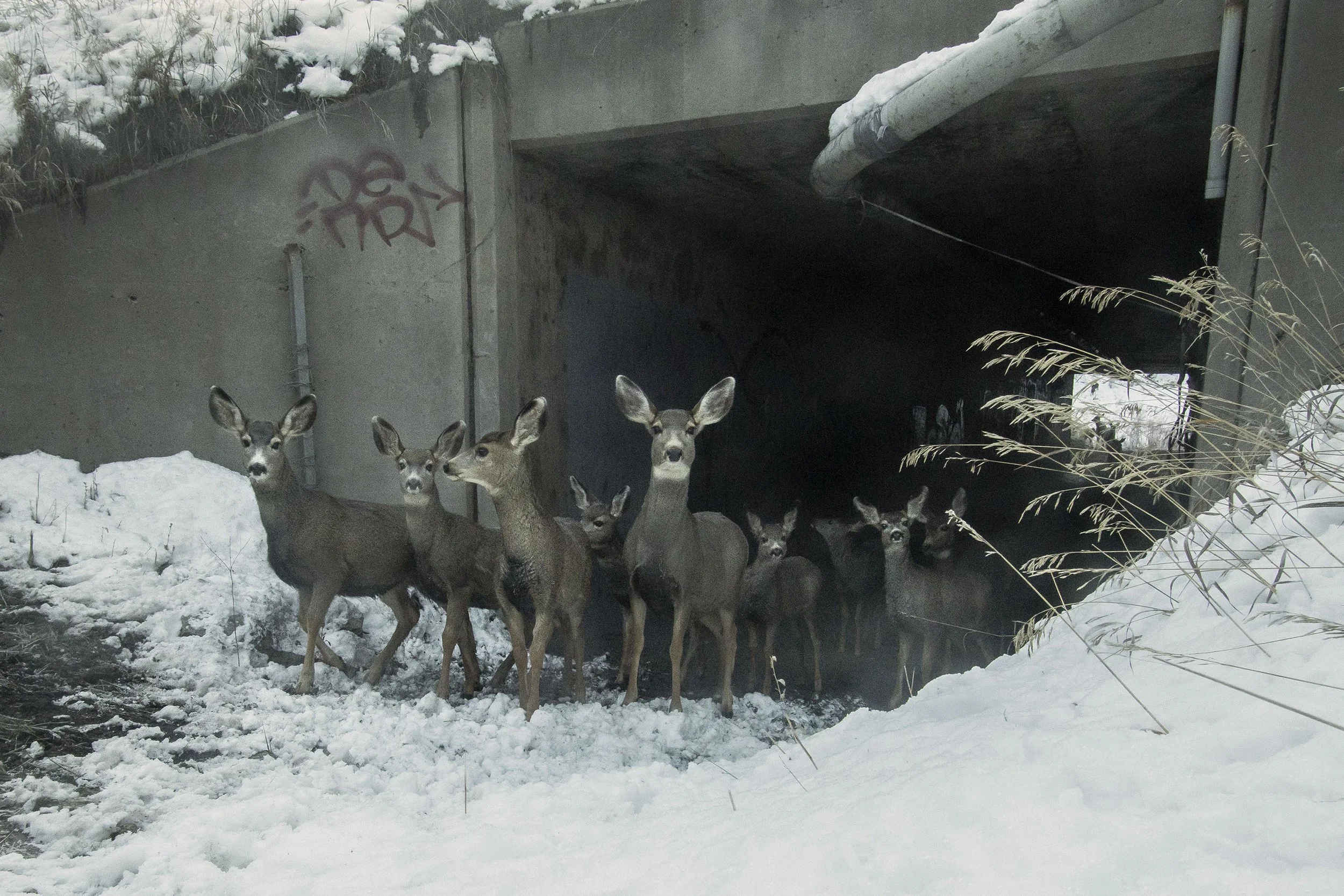
MULE DEER EXITING BOX CULVERT, DOWD CANYON (Camera Trap Image)
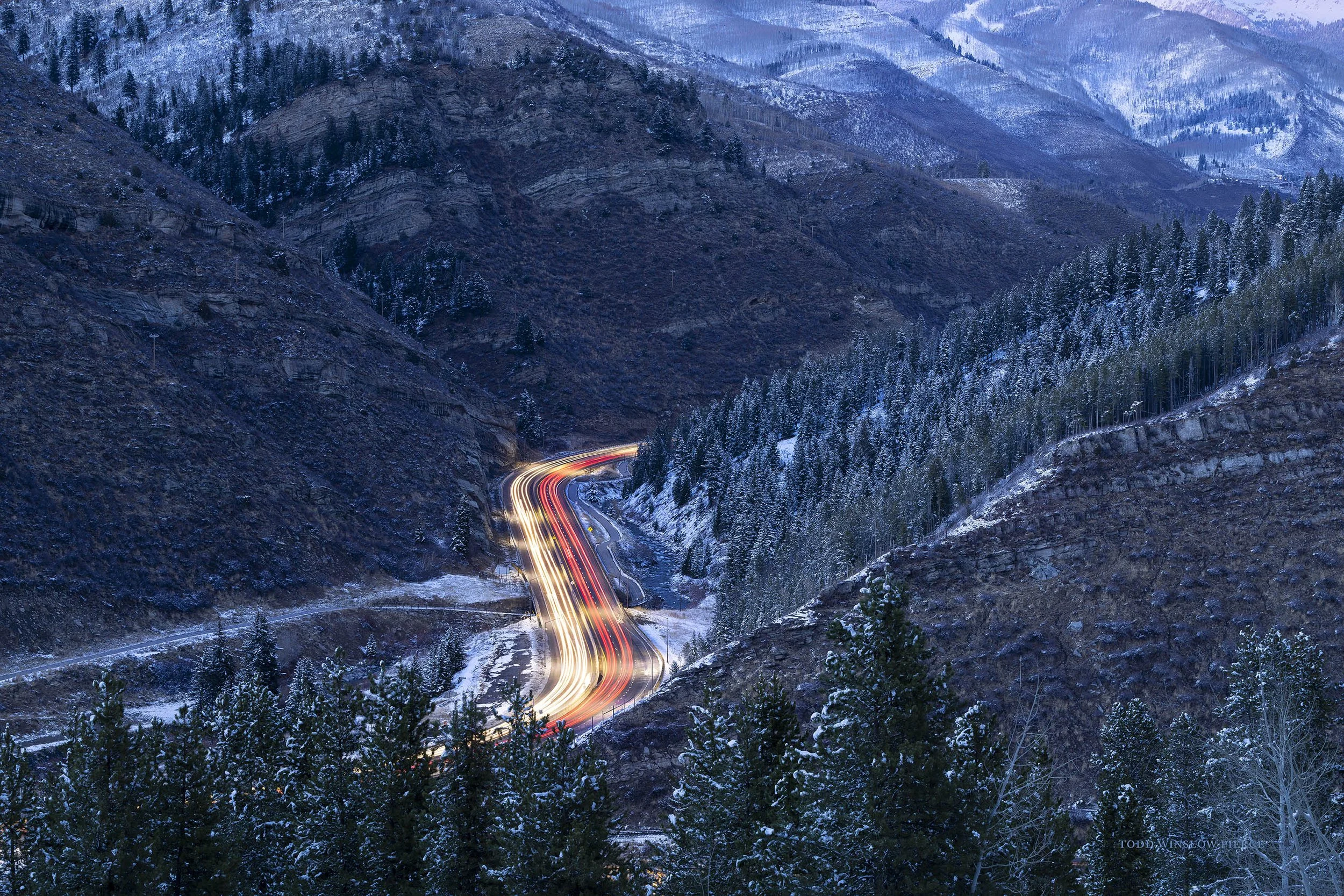
INTERSTATE 70 THROUGH DOWD CANYON
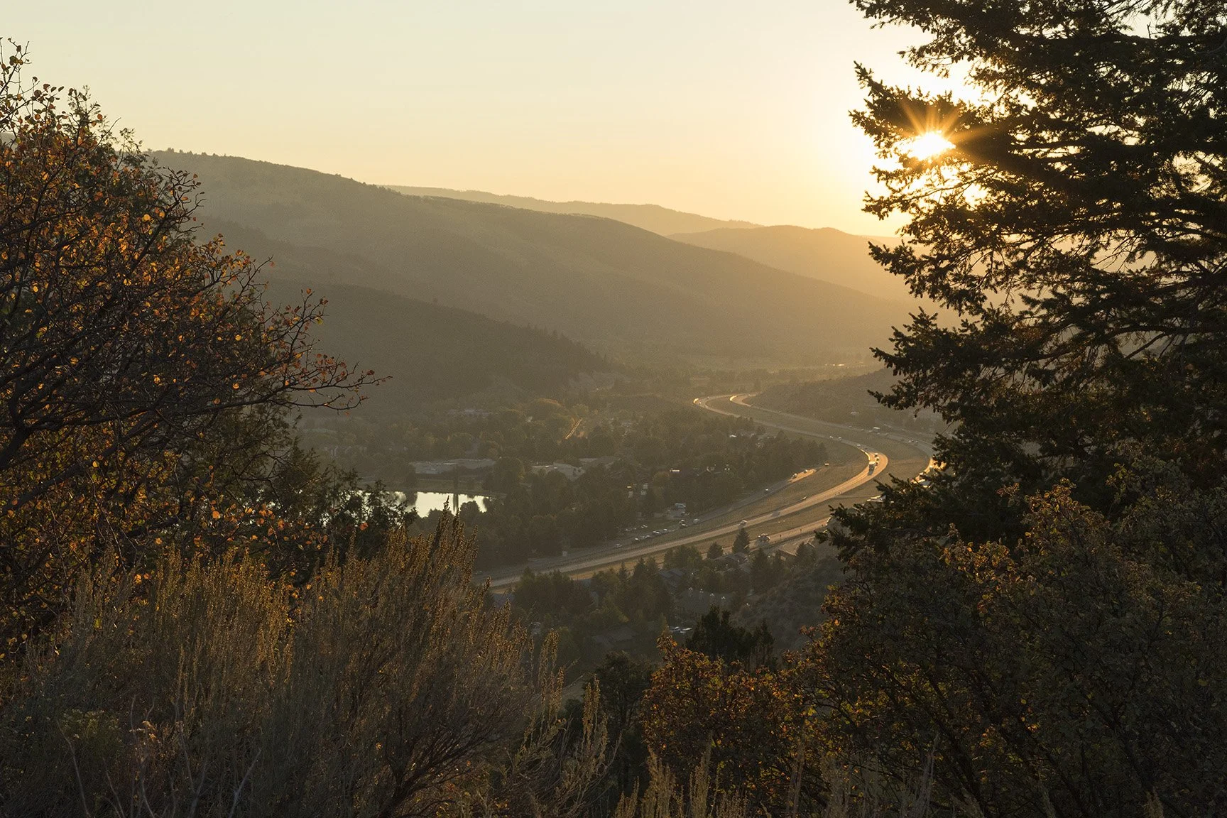
I-70 PASSING THROUGH AVON
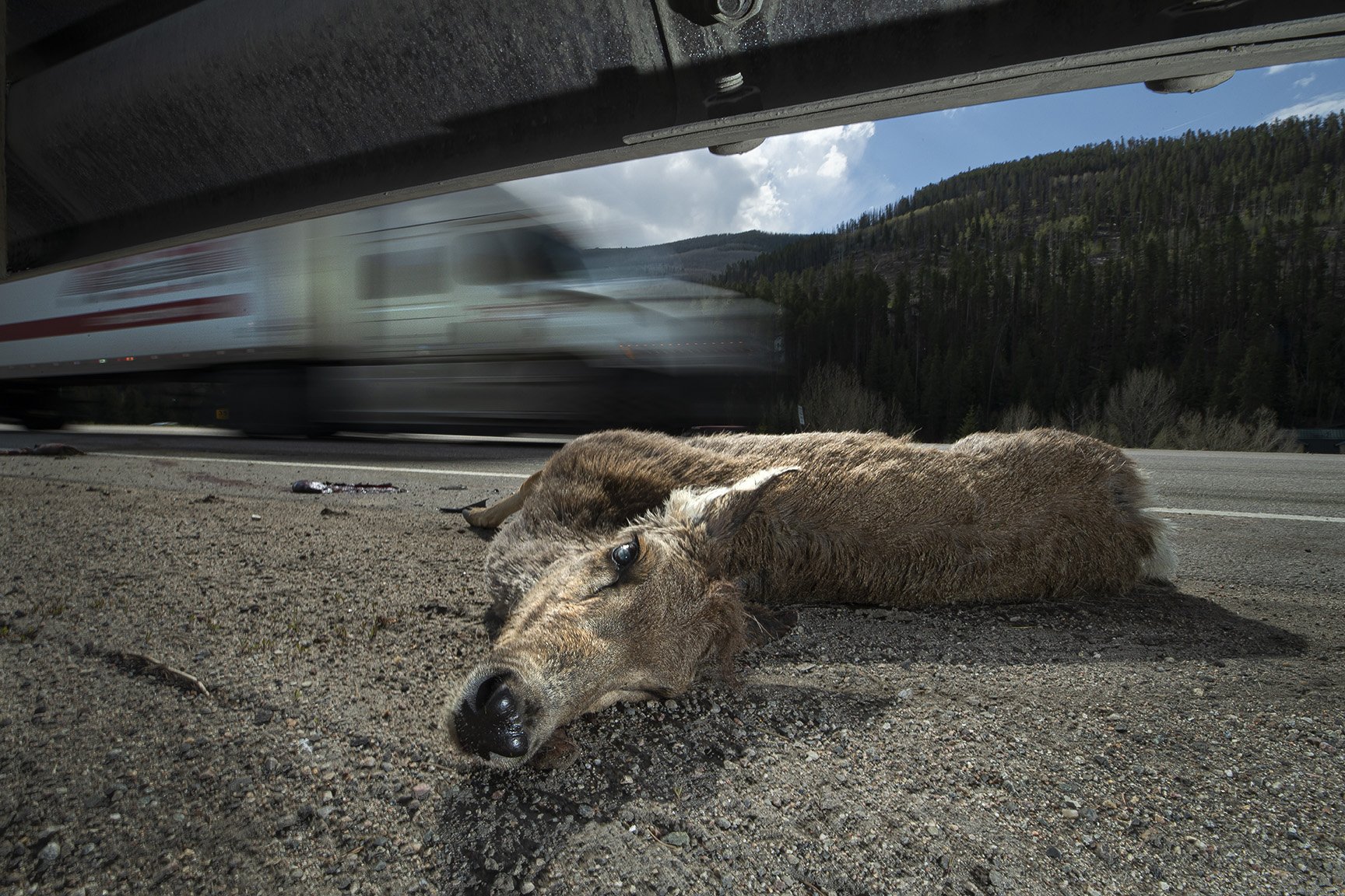
MULE DEER KILLED BY VEHICLE IMPACT, WEST VAIL
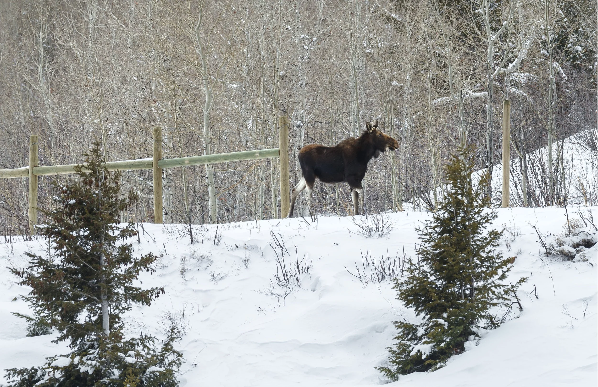
MOOSE TRAPPED ON THE WRONG SIDE OF THE FENCE, DOWD JUNCTION
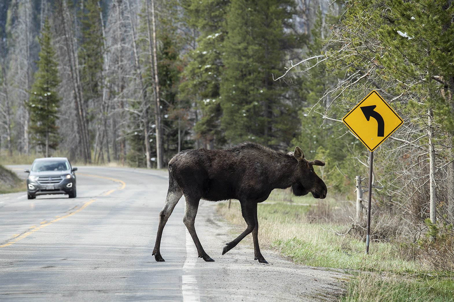
MOOSE CROSSING U.S. 6 NEAR RED CLIFF
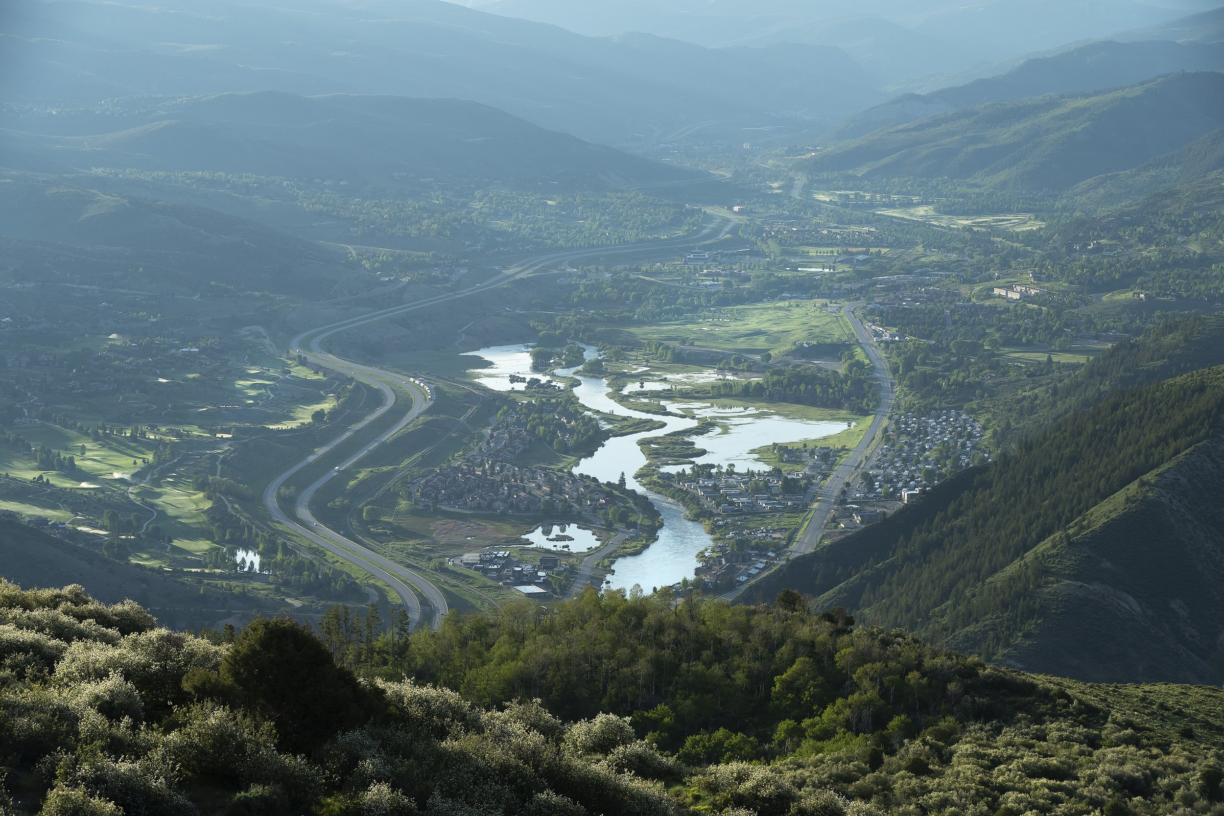
EAGLE RIVER VALLEY FROM BELLYACHE RIDGE